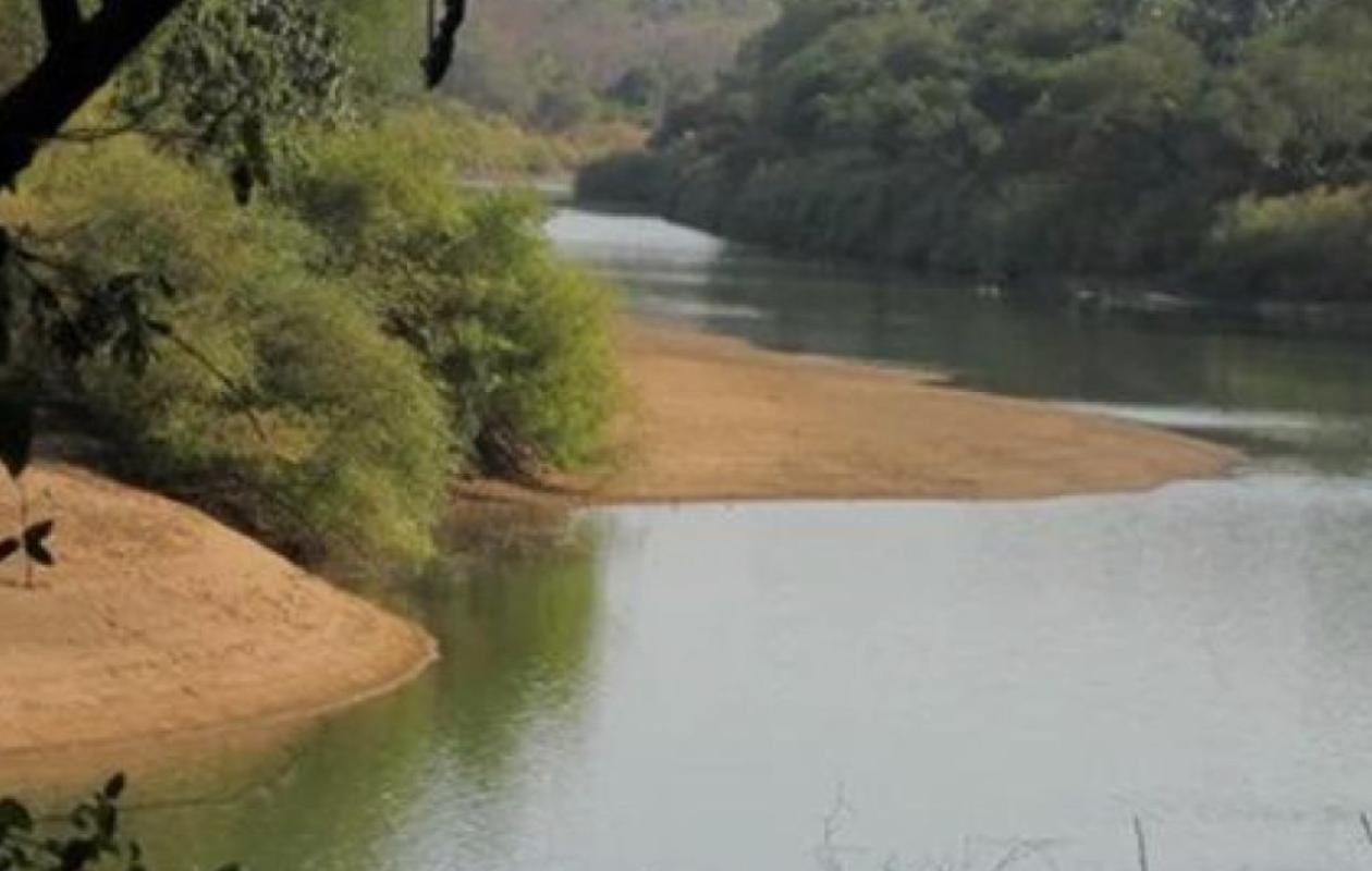
Bassin du fleuve Gambie : baisse marquée à Kédougou, hausses enregistrées en aval
Overall, the tributaries of the Gambia River are showing a downward trend. At Diaguiri, the water level fell from 5.54 m on September 20 to 5.46 m this morning, a decrease of 8 cm. The same is true at Afia Pont (Thiokoye), where the level fell to 5.63 m, a decrease of 9 cm.
The most significant drop was observed at Diahra Pont, with a 79 cm drop in one day. At Niokolo Koba, the level remained relatively stable, losing only 1 cm. However, the Goumbayel and Sinthiou Malème stations did not record any usable data.
On the main course of the Gambia River, the Kédougou station shows a spectacular drop: 6.90 m compared to 7.94 m the day before, a decrease of more than one meter (104 cm). This level falls below the alert level set at 7 m, after several days of vigilance.
Unlike Kédougou, stations further downstream are recording increases. In Mako, the water level rose by 21 cm to reach 5.58 m. The trend is similar in Simenti, with a rise of 21 cm to 10.29 m, although well below the alert level of 13 m. In Gouloumbou, the level reached 9.03 m, up 20 cm compared to the previous day.
These variations reflect the complex dynamics of the Gambia River basin. The DGPRE and the Water Resources Brigade emphasize that daily monitoring of these stations is an essential tool for anticipating flood risks and strengthening the resilience of riverside populations in the face of climatic hazards.


Commentaires (0)
Participer à la Discussion
Règles de la communauté :
💡 Astuce : Utilisez des emojis depuis votre téléphone ou le module emoji ci-dessous. Cliquez sur GIF pour ajouter un GIF animé. Collez un lien X/Twitter, TikTok ou Instagram pour l'afficher automatiquement.